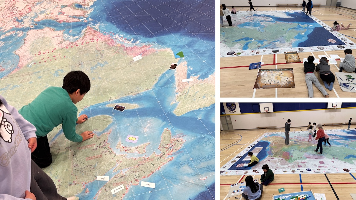
Every morning, students entering the school gym were greeted by a giant map of Canada. Over the course of the week, classes from different grades wandered across cities, rivers and mountains, tracing the lands of Indigenous communities while connecting geography with culture and history in engaging ways.
With resource cards in hand, students eagerly located provinces and cities. Scavenger-style challenges added extra energy, prompting them to solve clues, compare locations, and collaborate as teams, turning the gym into a vivid arena for inquiry and adventure. As they moved across the map, they gained new insights into Canada’s diverse landscapes and regions.
The school-wide activity offered a creative journey through the nation’s geography and Indigenous heritage. Students were captivated by natural landforms, the connections between provinces, and how geography shapes life, leaving them with lasting impressions and a deeper appreciation of Canada’s diversity.